
A metropolis of the ancient world
On a flat island in the Great Rann, ringed by shimmering salt, lie the stone foundations of Dholavira — one of the five largest cities of the Indus Valley Civilisation and, since 2021, a UNESCO World Heritage Site. It flourished for over a thousand years, four and a half millennia ago.
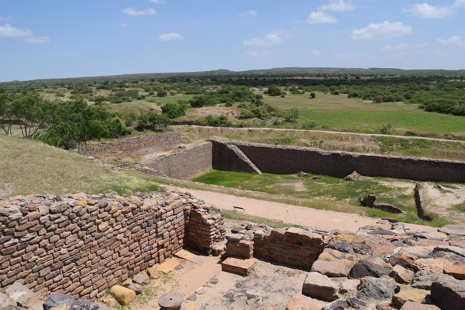
What sets Dholavira apart is its sophistication. The city is laid out in three parts — a fortified citadel, a middle town and a lower town — built in dressed stone rather than mud-brick. Its genius was water: dams, channels and giant rock-cut reservoirs that harvested every drop of a desert’s rain.
A great signboard of ten Indus symbols, found at a gateway, is among the earliest known signage anywhere. Walking the silent streets, past stepwells and ramparts under a huge sky, is to stand inside the deep past — humbling, atmospheric and remarkably intact.
Excavated streets and reservoirs of Dholavira.
A Harappan city that mastered water, then emptied
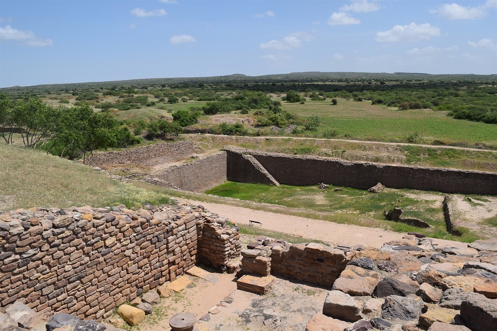
Stone ramparts that have stood for millennia.
A planned settlement rises on Khadir Bet, an island of higher ground in what was then a navigable gulf. Unusually for the Indus world it is built in dressed and rubble stone rather than mud-brick, because stone was what the island had.
Over centuries the city builds a water system without parallel in the Bronze Age: seasonal streams dammed, channels cut, and at least sixteen reservoirs — some quarried straight into bedrock — storing a whole year's supply from a few weeks of rain.
From roughly 1900 BCE the city contracts. The later levels show smaller, rougher structures built over the formal plan, and eventually the site is abandoned as the gulf silts up and the wider Indus network breaks down.
Excavated by the ASI from 1989 under R. S. Bisht, Dholavira was inscribed as a UNESCO World Heritage Site in 2021 — the fourth in Gujarat and the first Indus city in India to be listed.
Reasons to make the time
UNESCO-listed
Inscribed in 2021 for its exceptional water engineering and its unusually complete, three-part urban plan.
Genius of water
Sixteen or more reservoirs, some cut metres deep into solid rock, held enough monsoon runoff to carry a city of several thousand through a desert year.
Three-part city
The three-way division — fortified citadel, walled middle town, open lower town — is clearer here than at any other excavated Indus site.
Ancient signage
Ten large Indus characters, once inlaid in gypsum on a wooden board above the north gate, fell face-down and left their impression: the earliest known signboard anywhere.
Surreal setting
The site sits on an island in the Great Rann, approached across a causeway with white salt flats on both sides.
Quiet & profound
Its remoteness keeps visitor numbers low, and the silence over the ruins is a large part of what the place does to you.
What to look for inside
 THE CITADEL
Fortified heart
Massive stone ramparts, up to eighteen metres thick at the base, with formal gateways and the ceremonial ground below.
 RESERVOIRS
Water city
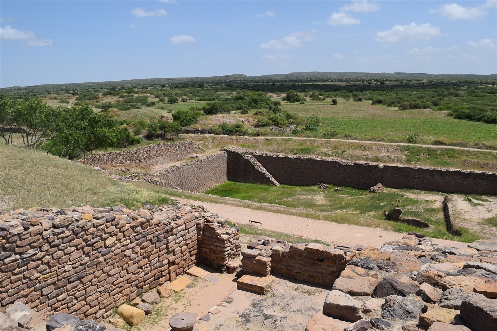
Stepped tanks cut into bedrock, linked by channels and sluices — the largest is over seventy metres long and five metres deep.
How to spend an hour or two
Climb the citadel
Start on the citadel. From the high ground the whole three-part plan resolves at once, which no photograph quite manages.
See the reservoirs
Climb down the steps into the largest rock-cut reservoir. Standing on its floor is the only way to register how much stone was removed by hand.
Find the signboard site
Find the north gate, where the ten-symbol signboard fell. The characters themselves are in the museum; the gateway is where they hung.
Walk the streets
Walk the middle and lower town, following the drainage lines and the regular street grid out towards the perimeter wall.
Tour the museum
Spend time in the ASI museum with the seals, beads, weights and the reconstruction of the signboard before or after the site itself.
Look out to the Rann
Come out onto the ramparts at either end of the day, when the low sun is on the stone and the salt beyond it turns colour.
A planned city of stone and water.
Cut-stone planning and desert engineering
Dholavira is a marvel of early urban planning. Unusually for the Indus world, it was built largely of dressed and rubble stone, fortified with massive walls and divided into a citadel, middle town and lower town, each carefully laid out. Wide ceremonial spaces and gateways speak of civic ambition.
Its crowning achievement is hydraulic. Sixteen or more reservoirs, some cut deep into living rock, were fed by dammed seasonal streams to store monsoon water through the long dry months — a desert response that still astonishes archaeologists.
The water system is the reason Dholavira is on the World Heritage list, and it is worth understanding what it actually did. Khadir Bet gets very little rain and has no perennial river. Two seasonal streams, the Manhar and the Mansar, run past the site for a few weeks a year. The builders dammed both, cut channels to divert the flow, and quarried a chain of reservoirs around three sides of the city to hold it — the largest more than seventy metres long. Water moved between tanks by gravity through cut stone conduits, with sluices to control it. In effect the whole city was designed as a rainwater catchment, and it worked for something close to a thousand years.
The three-part plan is equally deliberate. A heavily fortified citadel, itself split into a castle and an adjoining bailey, stands at the south; a walled middle town lies to the north of it; and a lower town extends beyond. Between the citadel and the middle town is a large open ground, generally read as a ceremonial or assembly space — the kind of civic feature that is rare in Indus archaeology. What makes it useful to visitors is that the divisions are legible on the ground: unlike most Harappan sites, you can stand in one place and see the hierarchy of the city laid out.
Getting there takes commitment and that shapes the visit. Dholavira is roughly 250 km from Bhuj, a five-hour drive north-east across the Rann on a road that runs for long stretches between salt flats. Most people come as an overnight from Bhuj rather than a day trip, and there is basic accommodation at the village and a Gujarat Tourism resort nearby. The site opens through daylight hours and the museum closes on Mondays. There is no shade on the ruins at all, so November to February, early or late in the day, is the only sensible plan.
For everything else the district holds, see our Kutch travel guide.
Dressed-stone construction
Citadel, middle & lower town
Giant rock-cut reservoirs
The ten-symbol Indus signboard
When to go
Cool, dry and clear — by far the best window for Kutch.
Green but humid; the Rann floods and some sites are hard to reach.
Fierce desert heat, often 45°C; only for the very early or hardy.
⏰ Visit Oct–Feb and start early — it's an open, shadeless site best explored in the cool of the morning.
Timings & entry
- Open through the day; check the weekly closed day
- An open, shadeless site — go early
- An on-site ASI museum displays the finds
- Allow 2–3 hours including the museum
- A small ASI ticket covers site and museum
- A modest extra fee for foreign visitors
- Carry water, a hat and sun protection
- It's remote — plan fuel and travel time
Getting there
By Air
Bhuj Airport is nearest (~250 km); most visitors drive from Bhuj.
By Rail
Bhuj is the railhead; Dholavira is a long road journey north-east.
By Road
A scenic ~250 km drive from Bhuj across the 'Road to Heaven'.
Shooting Dholavira
STONE & SKY
Ancient geometry under a vast desert sky
Best light
Rake light across the stonework early or late; at midday the ruins flatten out and lose all their texture.
Use the lines
The street grid and the rampart lines give strong leading-line compositions, especially shot from the citadel looking down.
Add scale
Put a person on a rampart or in a reservoir for scale — the walls read as low until something human is next to them.
The drive
The salt causeway in — the so-called Road to Heaven — is worth stopping for in its own right, best around sunrise.
Know before you go
More to see close by
 ARTISANS
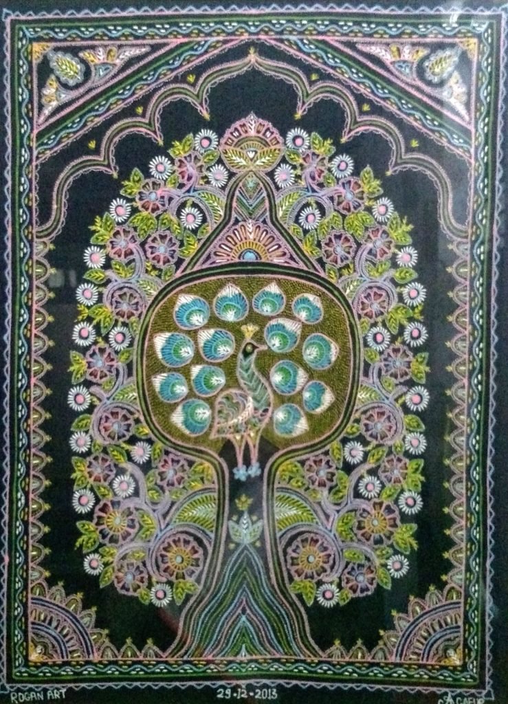
Rogan Art of Nirona
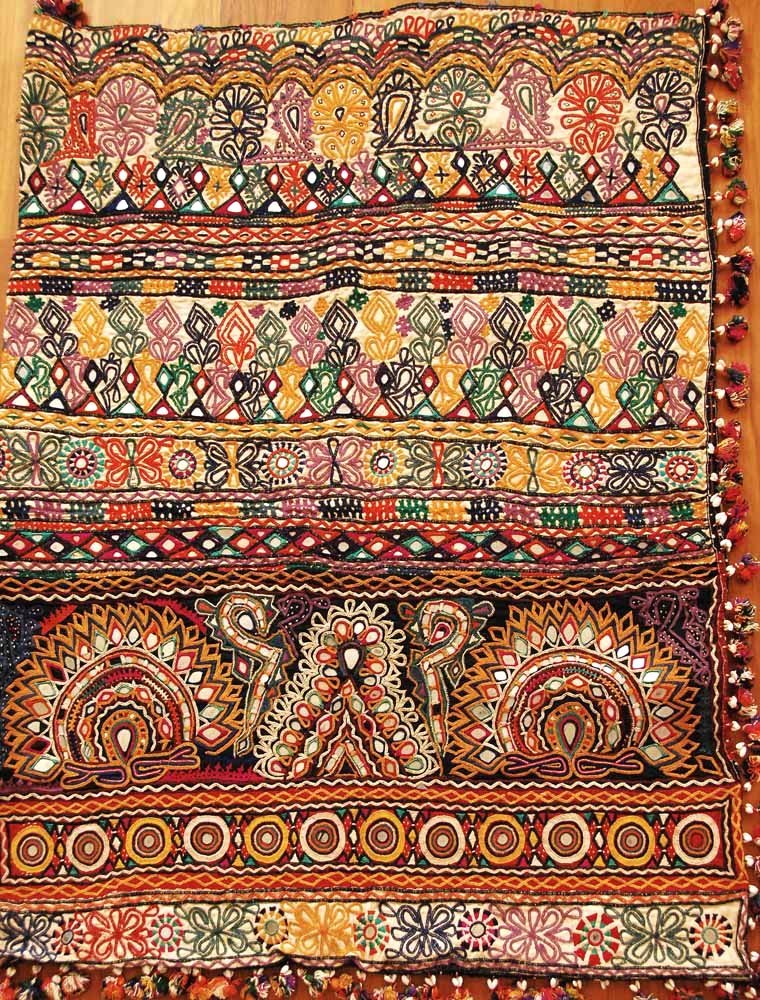
Rogan art, copper bells & lacquer woodwork
Craft Villages
◐ Colour & artisans
 PALACE
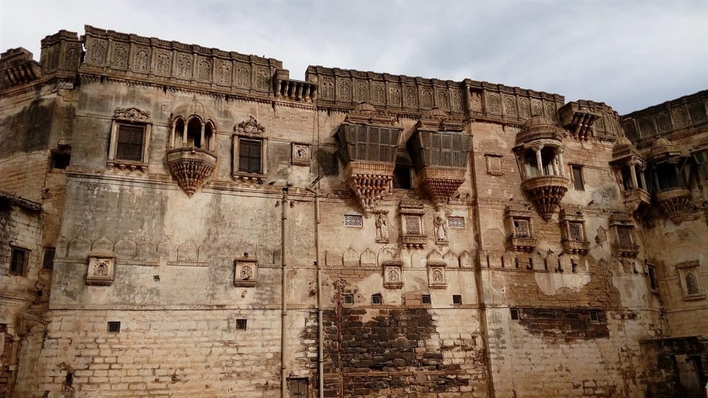
Aina Mahal
The 18th-century ‘Hall of Mirrors’
 PALACE
Prag Mahal
Italian-Gothic palace with a clock-tower climb
 SPIRITUAL
Swaminarayan Temple, Bhuj
A dazzling marble-and-gold temple in Bhuj
 SACRED
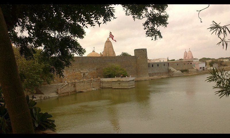
Narayan Sarovar
One of Hinduism’s five holy lakes, by Koteshwar
Where to eat near Dholavira
 STREET FOOD
Kutchi Dabeli
The spicy-sweet potato bun born in Mandvi.
 THALI
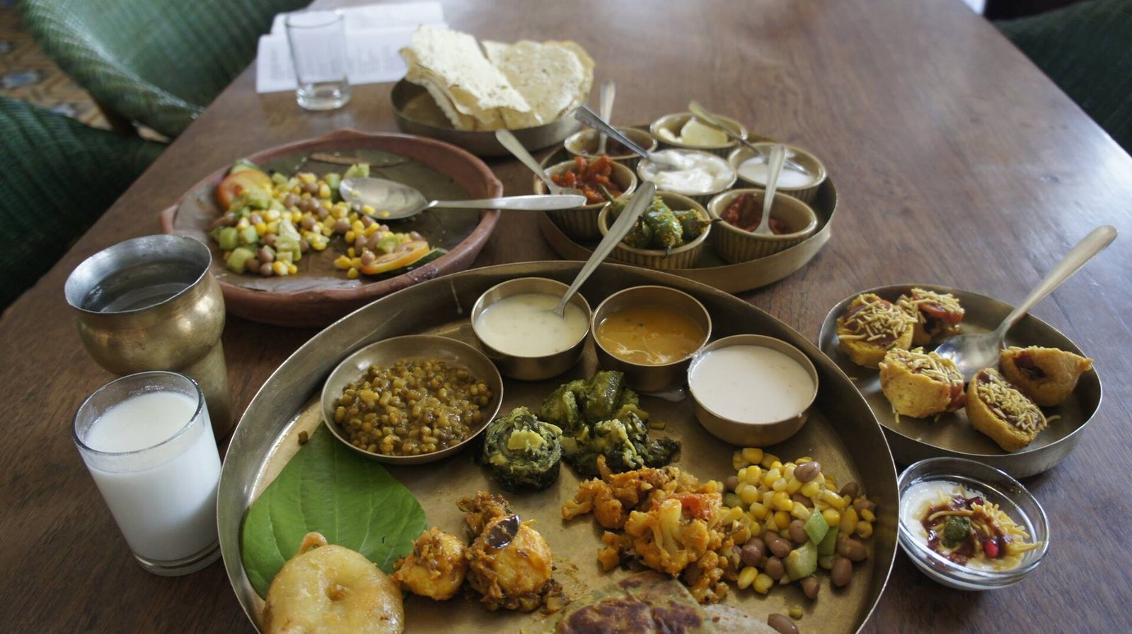
THALIKachchhi Thali
Bajra rotla, kadhi and ghee-rich local fare.
 SNACKS
Farsan & sweets
Dabeli, bhungra-bateta and Kutchi sweets.
Largely vegetarian
Kutch is mostly veg — carry water on desert trips.
Dholavira FAQ
Where is Dholavira?
On Khadir Bet island in the Great Rann, NE Kutch, ~250 km from Bhuj.
How old is it?
It flourished from roughly 3000 to 1500 BCE — around 4,500 years ago.
Is it a UNESCO site?
Yes — inscribed as a World Heritage Site in 2021.
What is it famous for?
Its dressed-stone city plan and advanced water-harvesting reservoirs.
Is there an entry fee?
A small ASI ticket; foreign visitors pay a little more.
What are the timings?
Roughly 9 AM to 6 PM; check the weekly closed day.
How do I get there?
Drive ~250 km from Bhuj across the salt 'Road to Heaven'.
How much time should I plan?
About 2–3 hours, including the museum.
Is there food nearby?
Limited — carry water; basic options at Khadir Bet/Dholavira village.
Is it shadeless?
Yes — go early and carry sun protection.
Related places across Gujarat
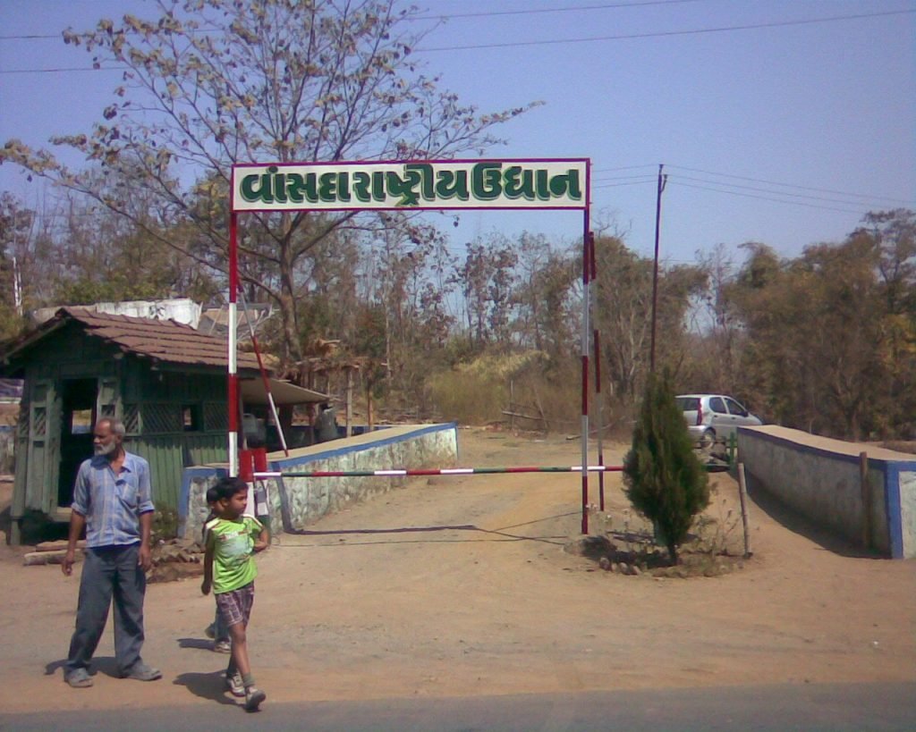 PILGRIM
Gabbar Hill
The Goddess’s original seat, with a ropeway
 2
2Kawant Holi Fair
One of Gujarat’s most colourful tribal gatherings
 NATURE
Balaram-Ambaji
Forested hills rich in wildlife
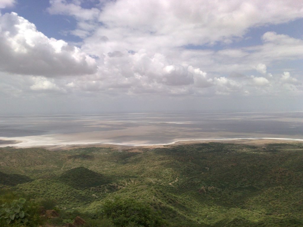
The White Rann
◐ Full moon · blue hour
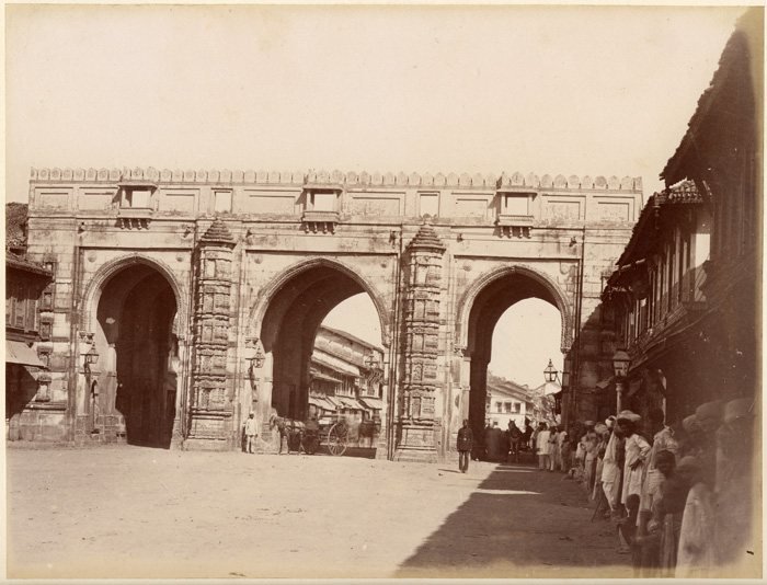 HISTORIC
Teen Darwaza
The city’s 1411 triple gateway & bazaar

Takhteshwar
Bhavnagar’s white-marble crown — the hilltop Takhteshwar Mahadev temple, a serene Shiva shrine with sweeping views…
WHERE TO STAY
Find your stay in Gujarat
Compare live prices across the big booking sites and reserve in a few taps. Booking happens securely on the partner's site — we may earn a small commission at no extra cost to you.
Book directly on our partner sites — tap a provider to see live Gujarat hotels & prices:
SHOP THE REGION
Bring home Gujarat — & travel essentials
Hand-picked crafts and trip gear, available on Amazon.
Published 24 June 2026 · Updated 24 August 2026
We’re an independent group of writers and travellers documenting every corner of Gujarat — one place, plate and festival at a time.