
Region
Coastal Gujarat, between the mainland and Saurashtra
Best time
October to February
Ideal duration
Part of a coastal trip
Good for
Coastal scenery and geography enthusiasts
The Khambhat Gulf, also written as the Gulf of Cambay, is a broad inlet of the Arabian Sea that separates mainland Gujarat from the Saurashtra peninsula. Several rivers, including the Mahi, Sabarmati, Narmada and Tapi, drain into it, and its funnel shape helps produce an unusually large tidal range. Historically it carried heavy sea trade, though shallow, silty waters have long shaped how ships could use it.
For a traveller, the gulf is less a single destination than a defining feature of this stretch of coast. You experience it through the towns, ports and estuaries around its edges, where the tide advances and retreats over wide mudflats each day. The scenery is wide, elemental and often muted in colour, appealing to those who like raw coastline over resort beaches.
What to see and do around the Khambhat Gulf
Base yourself in a coastal town such as Khambhat and watch the dramatic difference between high and low tide along the shore. The sheer reach of the water as it floods in and pulls back is the gulf's signature experience.
Explore the river mouths and small ports along the gulf's rim, where fishing life and old trading history sit side by side. Sunrise and sunset over the broad water can be especially atmospheric when the sky is clear.
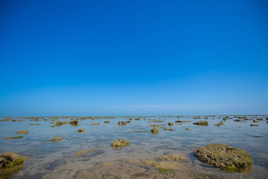
Khambhat Gulf
How to get there
You reach the Khambhat Gulf through the towns along its shoreline, most easily from central Gujarat hubs like Anand, Vadodara and Bhavnagar on the far side. Road travel to a chosen coastal point is the usual approach, as there is no single ferry or terminal that defines the gulf as a destination.
Best time to visit the Khambhat Gulf
The winter months from about October to February give the clearest skies and most comfortable temperatures for coastal outings. Summer is hot and hazy, and the monsoon brings muddy, grey conditions, so the cooler season is the safest bet for good views.
Good to know
- Learn the general tide pattern before you go, as it transforms the shoreline.
- Keep well back from soft tidal mud and fast-moving water.
- Combine your visit with nearby port towns for more context.
- Bring sun protection, since the open coast offers little shade.
Frequently asked questions
Why is the Khambhat Gulf known for its tides?
Its funnel-like shape amplifies the tidal range, so the water rises and falls over a very wide area, which has long fascinated geographers.
Is there a single place to see the gulf?
No single site defines it. You experience it from towns and river mouths along its shore, such as around Khambhat.
Is it good for swimming?
No. Strong tides, currents and mudflats make the gulf unsuitable for casual bathing.
The funnel of tides
The Gulf of Khambhat is a 200-kilometre funnel of sea between Saurashtra and mainland Gujarat, narrowing northward until it swallows the mouths of the Narmada, Tapi, Mahi and Sabarmati. Its shape is its story: the narrowing funnel concentrates the tide, giving the gulf some of the highest tidal ranges on earth — ten metres and more at the head, water moving with the force of a river in flood twice every day.
Those tides built and unbuilt Gujarat's history. They carried ships forty kilometres inland to make Bharuch and Khambhat great ports; their silt eventually choked the same harbours, which is why Cambay's trade passed to Surat and then Bombay. The gulf is a lesson in geography deciding history, written twice daily in mud and water.
What the gulf is like
Expect power, not prettiness. The water is brown with the silt of four great rivers; the shores are mudflats, salt pans, mangrove fringe and fishing villages; and at low tide the sea withdraws over flats that run to the horizon. The tidal bore — a wave running upstream against the rivers as the flood tide enters — can still be seen on the Mahi and at the gulf's head on the biggest tides.
For birders the gulf's edges are serious ground: winter waders in their tens of thousands, flamingos on the wider flats, and the whole intertidal food engine at work.
Where to meet it
Khambhat town gives the classic head-of-gulf experience — the old port's ghost, the flats at low water, the agate workshops inland. Bharuch and the Narmada mouth show the river-meets-gulf drama at its largest scale. Bhavnagar's coast — Ghogha, and Gopnath's cliffs — gives the western shore, with the ferry across to Dahej cutting the gulf itself. Alang, the great shipbreaking coast, works because of these very tides, which carry ships high onto the beach.
Respecting the water
The gulf demands genuine caution. The tide floods across flat ground faster than a person walks, the mud is soft in patches, and channels open behind the unwary. Never walk far onto the flats without local knowledge and tide times; treat every creek and river mouth as tidal water first.
November to February is the season — the birds are in and the light is clean. Any gulf visit pairs naturally with the historic ports that its tides created: Khambhat, Bharuch and Lothal, the Harappan harbour at the gulf's ancient edge.