Gujarat Explorer

Nizar Uplands

Home Tapi Nizar Uplands

UPLANDS · TRIBAL COUNTRY · FRONTIER

Nizar Uplands

The far eastern frontier — the uplands around Nizar, in the easternmost reaches of Tapi district on the Maharashtra border, are a quiet, hilly, tribal country of forest and farm, the remote green edge of Gujarat.

AT A GLANCE Quick Facts
📍 DISTRICT Tapi
🏷️ TYPE Upland tribal frontier
🗺️ REGION South Gujarat
🧭 CATEGORY Place
☀️ BEST TIME Oct – Mar
🎟️ ENTRY Open access
⏱️ DURATION 1–2 hrs
💡 IDEAL FOR Sightseeing
ABOUT THE PLACE

The remote eastern frontier of Tapi

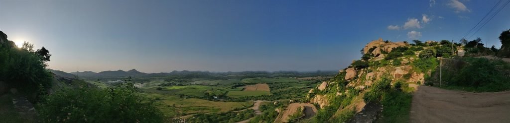
Nizar is a taluka in the far east of Tapi district — the remote, hilly, tribal frontier of the district where Gujarat meets Maharashtra, a quiet upland country of forest, farm and Adivasi villages. This is one of the most remote and least-visited corners of south Gujarat — gentle hills, patches of forest, agricultural land worked by the tribal communities, and the Doswada reservoir nearby.

The country has the character of a frontier: distant from the main towns, close to the Maharashtra border, and shaped by the rhythms of tribal and agricultural life in the upper Tapi basin. For the traveller who ventures into the deep eastern reaches of Tapi, the Nizar uplands offer a sense of the remote, rural, tribal character of the district — a green, quiet, little-known country far from any tourist trail, where the everyday life of the Adivasi communities and the gentle upland landscape are the experience.

It is best appreciated as part of a deeper exploration of eastern Tapi, alongside the Doswada reservoir and the tribal country, in the green months after the monsoon. (A remote upland tribal country; reach with local guidance; best in winter and post-monsoon.)

What Nizar offers is texture rather than sights: weekly haats where the upland villages trade produce and silver, the Doswada reservoir’s birdlife and evening light, winding roads through country that turns extravagantly green from the monsoon into early winter, and the upper Tapi valley opening toward the Ukai reservoir’s vast backwater a taluka away. The communities here — Gamit, Vasava, Bhil — share the festival culture of the wider Tapi-Dang belt, and Holi week brings the uplands their dancing season.

Come the way the country asks: by car from Vyara or Songadh with a local contact or driver who knows the lanes, food and fuel sorted in the towns, and expectations tuned to landscape and daily life rather than monuments. October to February is the comfortable window; pair the uplands with Ukai’s dam country or the Dang’s forests for a south Gujarat circuit that never repeats itself.

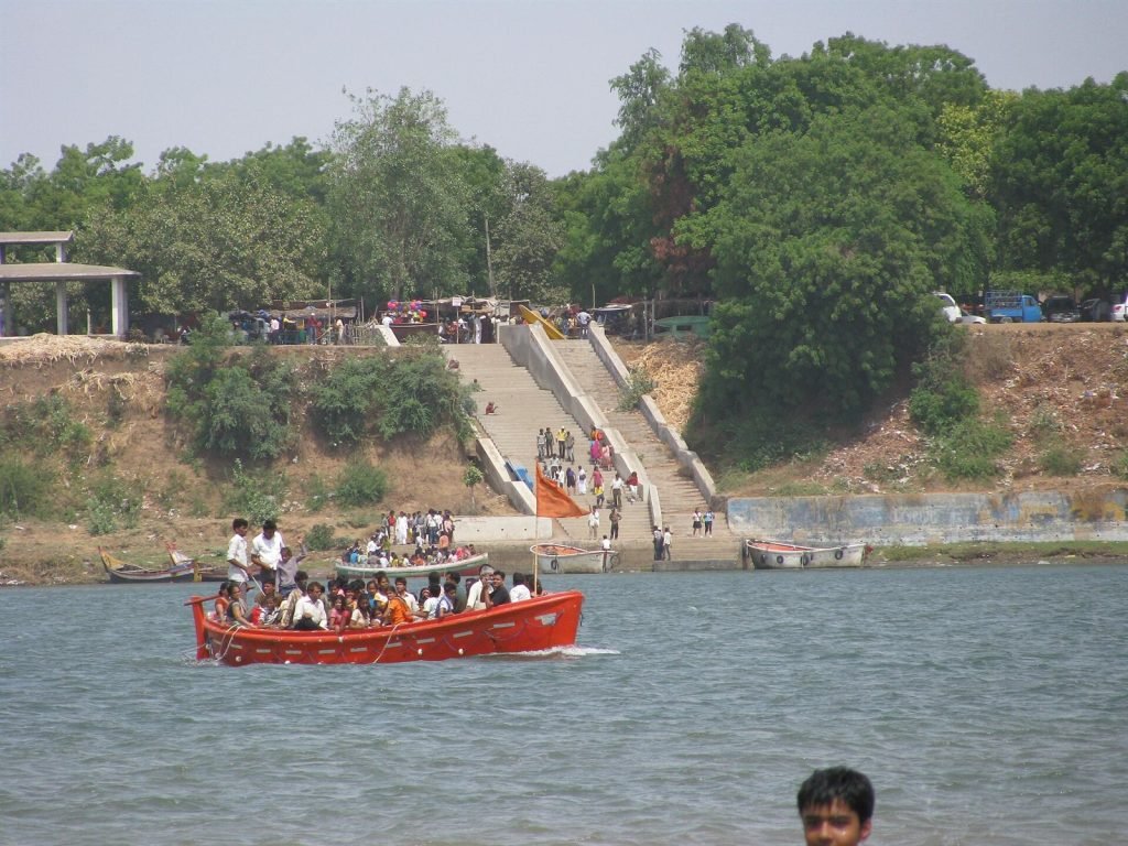
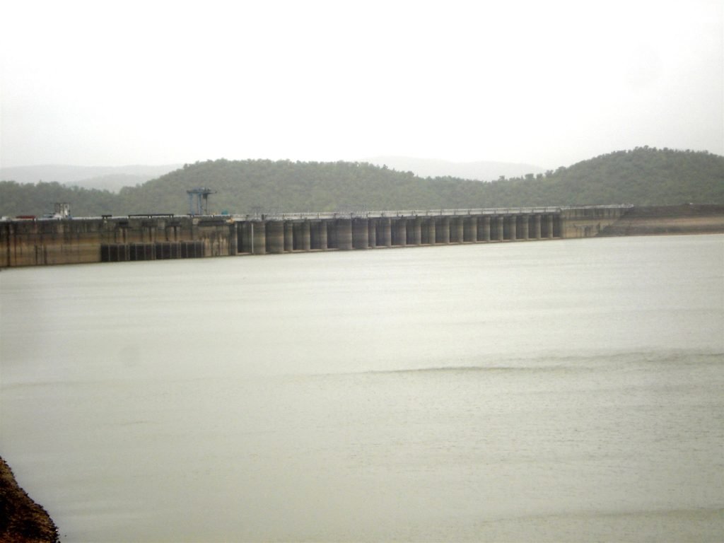
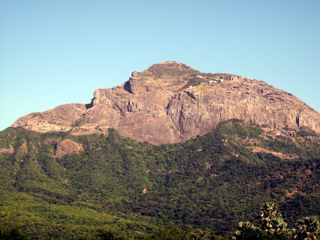
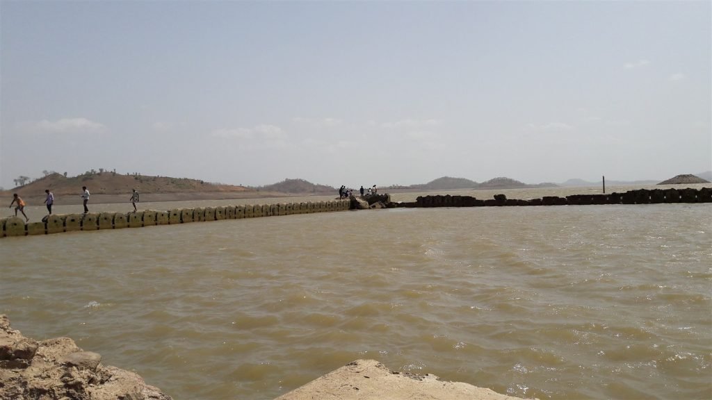
Nizar uplands, Tapi.

HISTORY

Tapi's remote eastern frontier

Nizar uplands.

Eastern frontier

The uplands run to the state line where Gujarat folds into Maharashtra.

Tribal country

Gamit, Vasava and Bhil villages work the valleys and slopes.

Uplands

Forest patches alternate with rain-fed fields across the hills.

Today

Few outside travellers ever reach this green eastern edge.

WHY VISIT

Reasons to make the time

⛰️

Uplands

Gentle hills roll toward the Satpura country beyond.

🤝

Tribal

Adivasi hamlets keep the uplands' working rhythm.

🌳

Forest

Teak and mixed woodland patch the higher ground.

🌾

Farm

Millet, pulses and paddy terrace the rain-fed slopes.

🧭

Frontier

The border country blends two states' languages and fairs.

🧘

Remote

This is Gujarat genuinely far off any tourist trail.

HIGHLIGHTS

What to look for inside

UplandsNIZAR

Uplands

A tribal frontier of forest, farm and quiet roads.

Forest & farmTHE COUNTRY

Forest & farm

Eastern Tapi.

THINGS TO DO

How to spend an hour or two

01

Explore the uplands

Hilly tribal country.

02

Note the Adivasi villages

Tribal life.

03

Visit the Doswada area

The reservoir nearby.

04

See the forest & farm

Upland country.

05

Go with local guidance

A remote frontier.

06

Travel after the monsoon

The greenest country.

Nizar uplands.

ARCHITECTURE & SETTING

A remote upland country

Nizar is a taluka in the far east of Tapi district — a remote, hilly, tribal frontier where Gujarat meets Maharashtra, a quiet upland country of forest, farm and Adivasi villages in the upper Tapi basin.

One of the most remote corners of south Gujarat, it offers a sense of the rural, tribal character of the district, far from any tourist trail. (A remote upland tribal country; reach with local guidance; best in winter and post-monsoon.)

The far-eastern tribal uplands of Tapi district

On the frontier where Gujarat meets Maharashtra

Forest, farm and Adivasi villages of the upper Tapi

A remote, green, little-known country

BEST TIME TO VISIT

When to go

WINTEROct – Feb★★★★★

Cool and clear — ideal.

MONSOONJul – Sep★★★★☆

Forests, falls and full water.

SUMMERMar – May★★☆☆☆

Hot; early morning best.

⏰ Winter is ideal; the monsoon brings the Tapi forests and reservoir to life.

HOW TO REACH

Getting there

✈️

By Air

Surat airport (~70 km).

🚆

By Rail

Vyara / Songadh stations.

🚗

By Road

From Surat via NH.

NEARBY DISTANCES
Nizar · Doswada — 20 km · Vyara — 55 km · Songadh — 50 km
TRAVEL TIPS

Know before you go

1Check dam access — Ukai viewing may be restricted on high-discharge or security days.
2Base in Vyara or Surat — both make handy hubs for exploring the district.
3Book eco-camps ahead — Padmadungari's forest tents fill on weekends and holidays.
4Carry your own supplies — remote forest areas have few shops, pack water & snacks.
5Visit Songadh early — climb the hill fort in cool morning light for the best views.
6Respect tribal areas — ask before photographing villagers; buy crafts directly.
7Best after monsoon — Sep–Feb brings full reservoirs and lush, green forests.
8Drive in daylight — rural and forest roads are best avoided after dark.
NEARBY FOOD

Where to eat near Nizar Uplands

Gujarati ThaliTHALI

Gujarati Thali

Comfort home cooking.

Tribal foodTRIBAL

Tribal food

Rice & forest produce.

Nagli rotlaNAGLI

Nagli rotla

The millet staple.

Forest honeyFOREST

Forest honey

From Adivasi villages.

FREQUENTLY ASKED

Nizar Uplands FAQ

What are the Nizar uplands?

The remote tribal hill country of far-eastern Tapi district.

Where is Nizar?

In the far east of Tapi, on the Maharashtra border.

What is the country like?

Hilly, forested, agricultural and tribal.

Is it touristed?

No — a remote, little-visited frontier.

What is nearby?

The Doswada reservoir and the tribal country.

Best time to visit?

Winter and post-monsoon.

WHERE TO STAY

Find your stay in Gujarat

Compare live prices across the big booking sites and reserve in a few taps. Booking happens securely on the partner's site — we may earn a small commission at no extra cost to you.

📍 DestinationAnywhere in Gujarat 📅 Check-inAdd date 📅 Check-outAdd date 👥 Guests2 adults Search Hotels

Book directly on our partner sites — tap a provider to see live Gujarat hotels & prices:

Affiliate links: prices and availability are shown by our partners. You pay the same price; we may earn a commission that helps keep Gujarat Explorer free.

SHOP THE REGION

Bring home Gujarat — & travel essentials

Hand-picked crafts and trip gear, available on Amazon.

🧵
Patola Silk Scarf
View on Amazon
🪡
Kutch Embroidery
View on Amazon
🎒
Travel Backpack 40L
View on Amazon
🔔
Brass Handicraft
View on Amazon
As an Amazon Associate, Gujarat Explorer earns from qualifying purchases. Product prices and availability are accurate as of the date/time shown on Amazon and are subject to change.
🚕
Book a cab anywhere in Gujarat
Airport transfers, day trips & intercity rides — reserve a comfortable cab, or just ask us on WhatsApp.
Enquiries are passed to independent, licensed local operators. Gujarat Explorer is a facilitator, not the transport provider.
WhatsApp Enquiry

Published 24 June 2026 · Updated 24 August 2026

GE
The Gujarat Explorer Team

We’re an independent group of writers and travellers documenting every corner of Gujarat — one place, plate and festival at a time.